Services
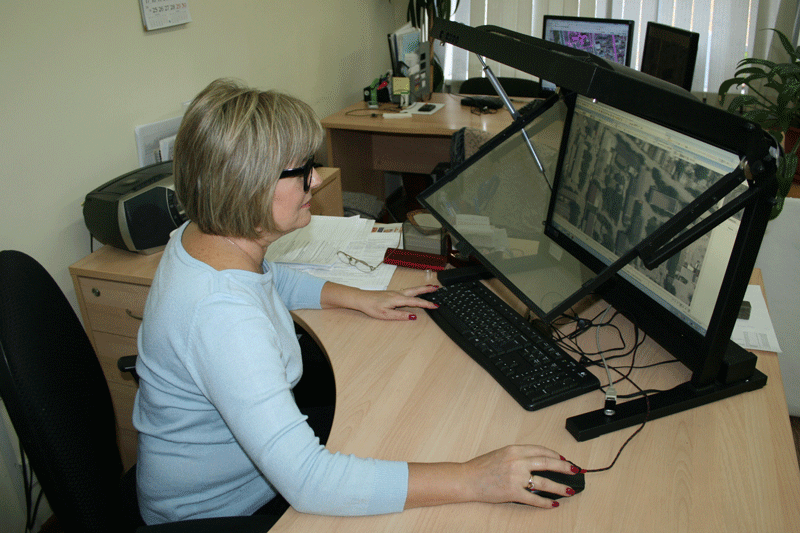
Department of digital photogrammetry
 |
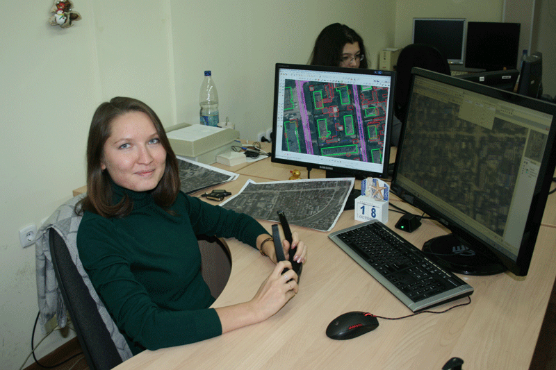 |
Department of digital photogrammetry performs a full complex of laboratory works on digital stereo-photography using modern digital technology:
- Creation of digital orthophotos in scale 1: 500 — 1: 200 000 according to the aerial photographs and satellite imagery;
- Construction of digital terrain models and digital elevation models;
- Creating and updating digital topographic maps and plans of scale 1: 500 — 1: 2 500 000 according to the aerial photographs and satellite imagery;
- Research and analysis of API and satellite imagery;
- Testing software photogrammetric processing;
- Conducting practical training of students of photogrammetrists;
- Support relevant theses and term papers;
- Participation in international thematic conferences.
Head of Department


