Services
Geodetic service
Mission:
- Engineering-geodesic surveys,
- Preparation of targeted plans of settlements,
- Field interpretation,
- The creation of plans of underground communications,
- Land surveying and cadastral work
- Surveying, inventory of land.
 |
 |
Engineering and land surveying
- The creation of geodetic networks;
- Geodetic monitoring of deformations and precipitation of buildings and structures, movements of the earth's surface and dangerous natural processes;
- Creation and updating of engineering topographic plans in scale 1:200 - 1:5000, including digital form, survey of underground communications and constructions;
- Routing of linear objects;
- Engineering-hydrographic works;
- Special geodetic and topographic works during construction and reconstruction of buildings and structures.
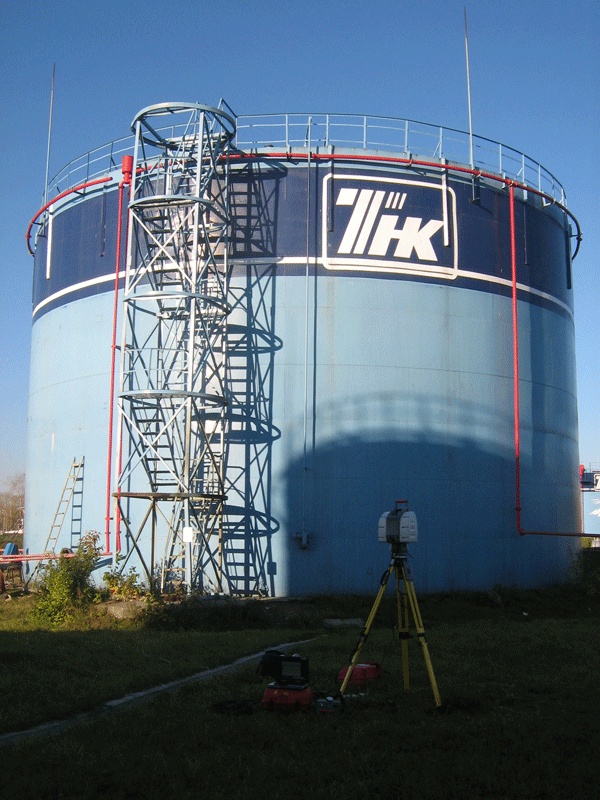
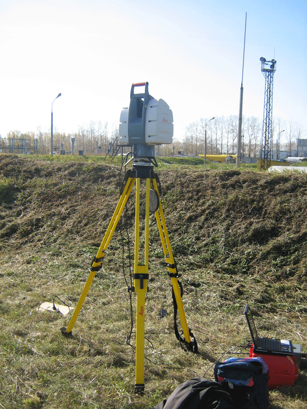
Laser scanning
- Creating three-dimensional models of existing industrial enterprises and objects;
- Survey of monuments and archeology, the creation of 3D models;
- Survey of facades of buildings;
- Prototyping;
- Create dimensioned drawings;
Land surveying and cadastral work, land surveying, inventory of land
- Land inventory of towns, rural settlements, agricultural land and other land categories;
- Surveying, inventorying and surveying underground utilities on the territory of cities and settlements, energy facilities;
- The preparation of urban projects, land plots under residential buildings high-rise buildings;
- Work on delimitation of land in state ownership;
- The transfer of land from one land category to another;
- Work on harmonization of cadastral information (ordering the municipal boundaries, the ordering of cadastral units);
- Drafting of the boundaries of settlements, removal of boundaries in nature;
- Zoning of urban districts of municipalities;
- Preparation of information necessary for calculating land tax based on cadastral value of land;
- Other types of land surveying and cadastral works.


