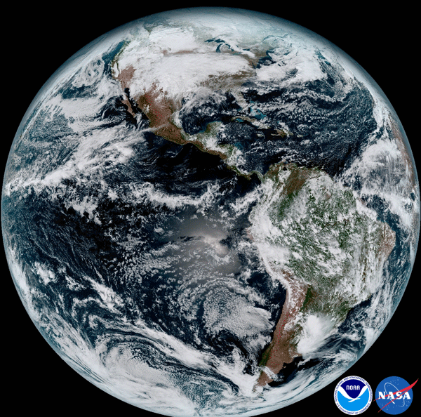
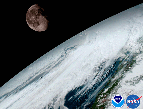
The satellite GOES-16, 15 January 2017
On the satellite image displayed full disk illuminated hemisphere of the Earth at 1:07 Moscow time on 15 January 2017. The image was created using 16 spectral channels available on the GOES-16. In the photograph are: North and South America and the surrounding oceans. GOES-16 removes the ground from the Equatorial orbit, with a height of approximately 35 000 km.
SergeLand Image Zoomer v3.0
|
В папке js отсутствует zoomsl-3.0.min.js. Не могу инициализировать плагин. |
||
 |
||
The space was created on 15 January 2017. The satellite GOES-16 uses the moon to calibrate.

Materials National Environmental Satellite, Data, and Information Service: www.nesdis.noaa.gov
The plugin is the zoom effect image magnifier - SergeLand Image Zoomer v3.0


