 |
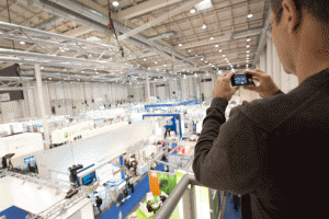
Intergeo 2016 - international trade fair for geodesy, Geoinformatics and land management |
The exhibition was held in Hamburg (Germany) 11 - 13 October 2016
The exhibition is held once every year since 1995. Each time the exhibition is held in different cities of Germany. To date, the exhibition Intergeo is one of the biggest events in the world held in Europe. Intergeo covers all the major trends occurring in geodesy and related industries.
 |
 |
To date, the exhibition Intergeo - the only event of its kind that covers the full range of current and future products and services, technologies and system solutions. At the exhibition Intergeo 2016 leading experts and developers of the industry will introduce the basic directions of the rapidly growing GEODATA market, influencing the important decisions in the field of politics, social and economic issues. Problems of use of natural resources, environmental monitoring, transport management and spatial planning can be solved only by using relevant geodatabase. The range of exhibits covers all aspects of surveying, remote sensing, photogrammetry. The main target group at the exhibition Intergeo 2016 surveyors, cartographers, specialists in Geoinformatics, media representatives and industry publications, students of specialized Universities and experts on the cadastre, energy, oil, environmentalists, specialists in logistics and waste disposal etc.
 |
 |
The basic thematic sections of the exhibition Intergeo:
- Surveying: equipment, accessories, software; photogrammetric mapping equipment, scanners, digital stations;
- Cartography: printing and digital publications, software, equipment;
- GIS technology: software, GIS projects;
- Satellite navigation receivers and base stations in GLONASS, GPS, Galileo;
- Laser scanning: terrestrial and airborne laser scanners, software;
- The data of Earth remote sensing: satellite and aerial photography;
- The construction of buildings and structures: engineering research, design, monitoring deformations;
- Land and real property: cadastral surveying, land surveying, land management, technical inventory and evaluation of real estate;
- Environmental monitoring;
- Management;
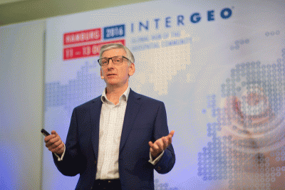
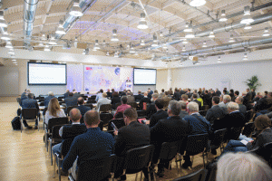
The exhibition organizers held a number of specialized conferences, seminars and lectures in which specialists and experts focused on innovations in the industry: vehicles for three-dimensional shooting of city streets, 3D technologies, sensors for data collection. Additionally, their reports were the heads of the leading companies in the industry, which was considered the most pressing issues on today industry.
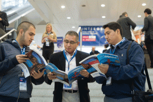
The delegation of employees of JSC "Uralgeoinform", along with other Russian companies took active part in the exhibition.


