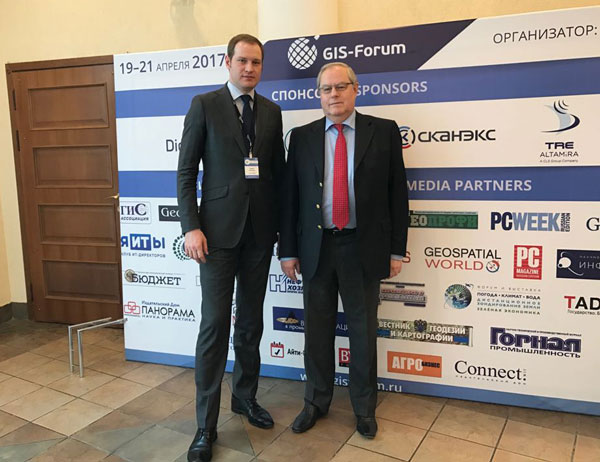
Ongoing GIS-forum 2017, which takes place April 19-21, 2017, the Hotel "Park hotel Imperial", Moscow.
On the second day of the forum was held the next plenary session:
- The latest geoservices and technologies
- Implementation of GIS technologies industry solutions
- The use of data from space, aircraft and instrumental imagery
Held parallel workshops and roundtables in the following areas:
- Russian RSD satellites. Efficiency, availability, processing capabilities
- Approaches to the system of land assessment based on geospatial information
- Planet Platform: Application Developer Program
- "GRADIS" technology to increase the tax base of the municipal formation
- Building enterprise web GIS Platform Geoanalitika
- Monitoring of surface displacements by the method of satellite radar interferometry Squee SAR
- Intelligent platform GBDX — transform geospatial data into actionable knowledge
- Processing the radar data using a new version of SARscape 5.4. OPTICALscape
- Inventory and monitoring of forests and green spaces on the basis of hyperspectral data with UAV

General Director of JSC "Uralgeoinform" - Anashkin, P., General Director of Sovzond - Mikhailov V.
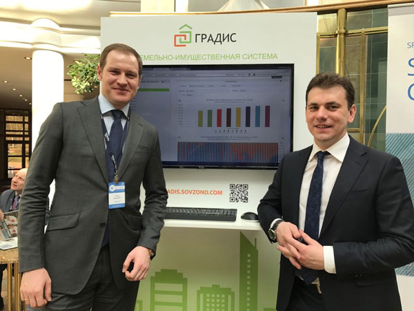
A special highlight of the seminar, which was organized by "Sovzond" - "GRADIS" technology to increase the tax base of the municipality. System "GRADIS" the seminar was represented by Director of business development, Sovzond - Boutin Vyacheslav

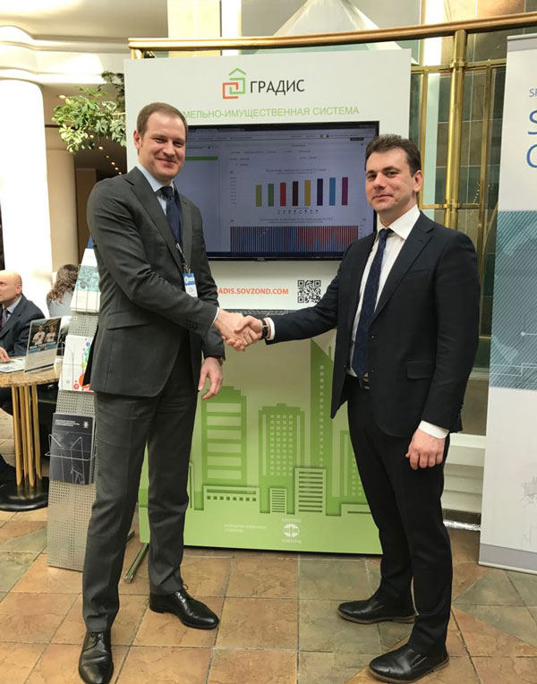
General Director of JSC "Uralgeoinform" - Anashkin, P., Director of business development, Sovzond - Boutin V.
As an example of the system "GRADIS" was demonstrated, a pilot project of joint activities for the city of Ivdel in Sverdlovsk region. During the discussion of the possibilities of using "GRADIS" agreement has been reached between the Company "Sovzond" company and JSC "Uralgeoinform", on joint activities and the use of technological solutions in the territory of the Urals Federal district.

Follow the news on a GIS forum on our website
Read more about the forum www.gisforum.ru
JSC "Uralgeoinform"


