 |
17th international scientific and technical conference "From imagery to digital reality: remote sensing and photogrammetry" |
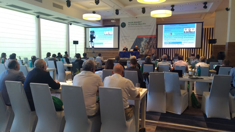
In the Israeli Hadera (Israel) continues its work on 17-th international scientific and technical conference "From imagery to digital reality: remote sensing and photogrammetry". With a salutatory word to participants of conference were welcomed by Ronen Regev, Director of the State Agency for mapping, geodesy, cadastre and Geoinformatics of Israel and Zaichko Valeriy A., Deputy Director of the Department of navigation space systems of the state Corporation "ROSCOSMOS".

In the plenary sessions of the first day focused on innovations, new products and trends in photogrammetry and cartography took part representatives of the Russian and Israeli companies. Within the sections the first day, his report "Innovative development of JSC "Roskartografiya" in providing spatial data of state functions" presented Serebryakov Sergey, Deputy General Director for innovative development, JSC "Roskartografiya" (Russia, Moscow).
The conference also discussed topics related to:
- new trends and technologies in photogrammetry;
- space systems of Earth remote sensing;
- cloud technologies in photogrammetry and remote sensing;
- new technologies and software products processing ersd;
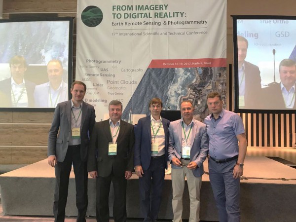
Conference participants, from left to right: Anashkin, P. (JSC "Uralgeoinform"), Prokhorenko A. (JSC "Roskartografiya"), Serebryakov S. (JSC "Roskartografiya"), Zaichko V. (GK "Roscosmos"), Andryushchenko V. (JSC "Uralmarksheideriya").


