IX international scientific and practical conference
«Geodesy. Mine surveying. Aerial survey. At the turn of the century»
February 16 - the second day of the scientific-practical conference
 |
IX international scientific and practical conference |
Photo report on the conference events
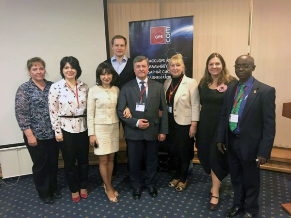
The representatives of JSC "Uralgeoinform", JSC "Roskartografiya" and NPK "Jena Instrument" with colleagues
(Photo by G. G. Bozhchenko)
February 16, 2018 in Moscow continued its work IX international scientific and practical conference "Geodesy. Mine surveying. Aerial survey. At the turn of the century." The participants of the conference took part in 4 sections of the conference, which were devoted to: laser scanning technologies, the use of global navigation satellite system, new approaches in photogrammetric processing of aerial photography, new areas of remote sensing data, the use of UAV data.
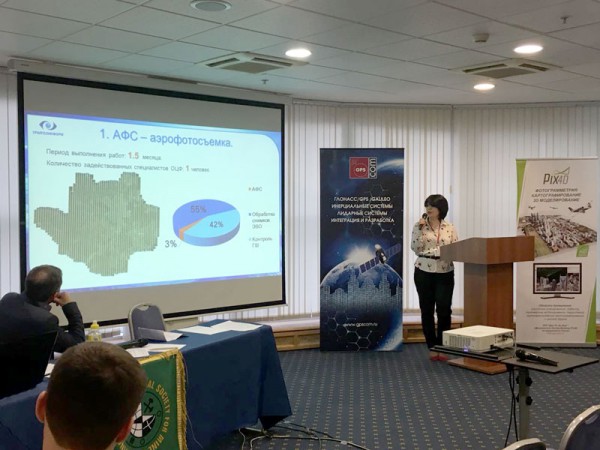
JSC "Uralgeoinform" at the conference was represented by Diana Hajdukova, head of digital photogrammetry. In Section № 4, Diana Maratovna made a report - "Photogrammetric aspects of processing aerial photography of the city-millionaire." The report highlighted new approaches in photogrammetric processing of aerial photography, on the example of creating orthophotos on the territory of the city of Ekaterinburg.
D. M. Khaydukova, head of digital photogrammetry Department, JSC "Uralgeoinform"
Photo report on the conference events
Official website of the scientific and practical conference: con-fig.com
JSC "Uralgeoinform"


