Services
Department of digital topographic mapping
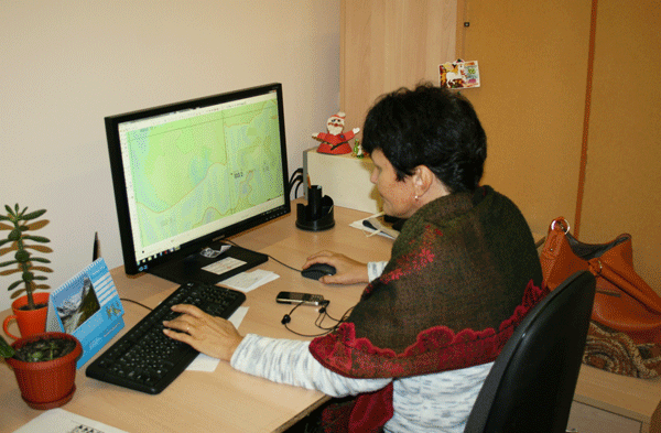
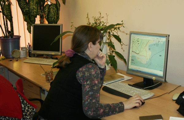
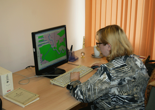
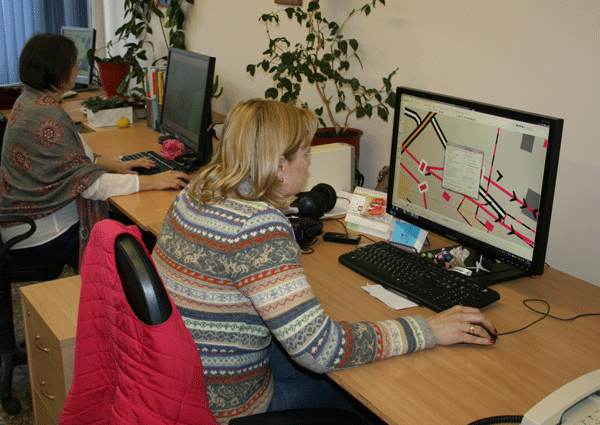
The main objective of the Department is the creation of digital topographic maps and plans and the maintenance of current status of digital cartographic information for the territory of the Ural Federal District.
 |
 |
 |
 |
Work performed:
- Creation of digital topographic maps and plans of scale 1: 500 — 1: 1 000 000 stamped "secret", "confidential", and maps and plans for public use;
- The upgrading and updating of digital topographic maps and plans;
- Cartastudenti digital topographic maps and plans;
- Unloading of digital topographic maps and plans marked "secret" to public use;
- The conversion of digital topographic maps and plans in the coordinate system;
- Conversion of digital topographic maps and plans in the required format (MapInfo, ArcGIS, Panorama, Ingeo, AutoCAD, etc.);
- Standardization of map data and bring the data into a single structure;
- Plans and schemes from paper to electronic form;
- Design and prepare maps for publication;
- The creation and design of navigational charts;
- Participation in international thematic conferences.

Head of DDTM


