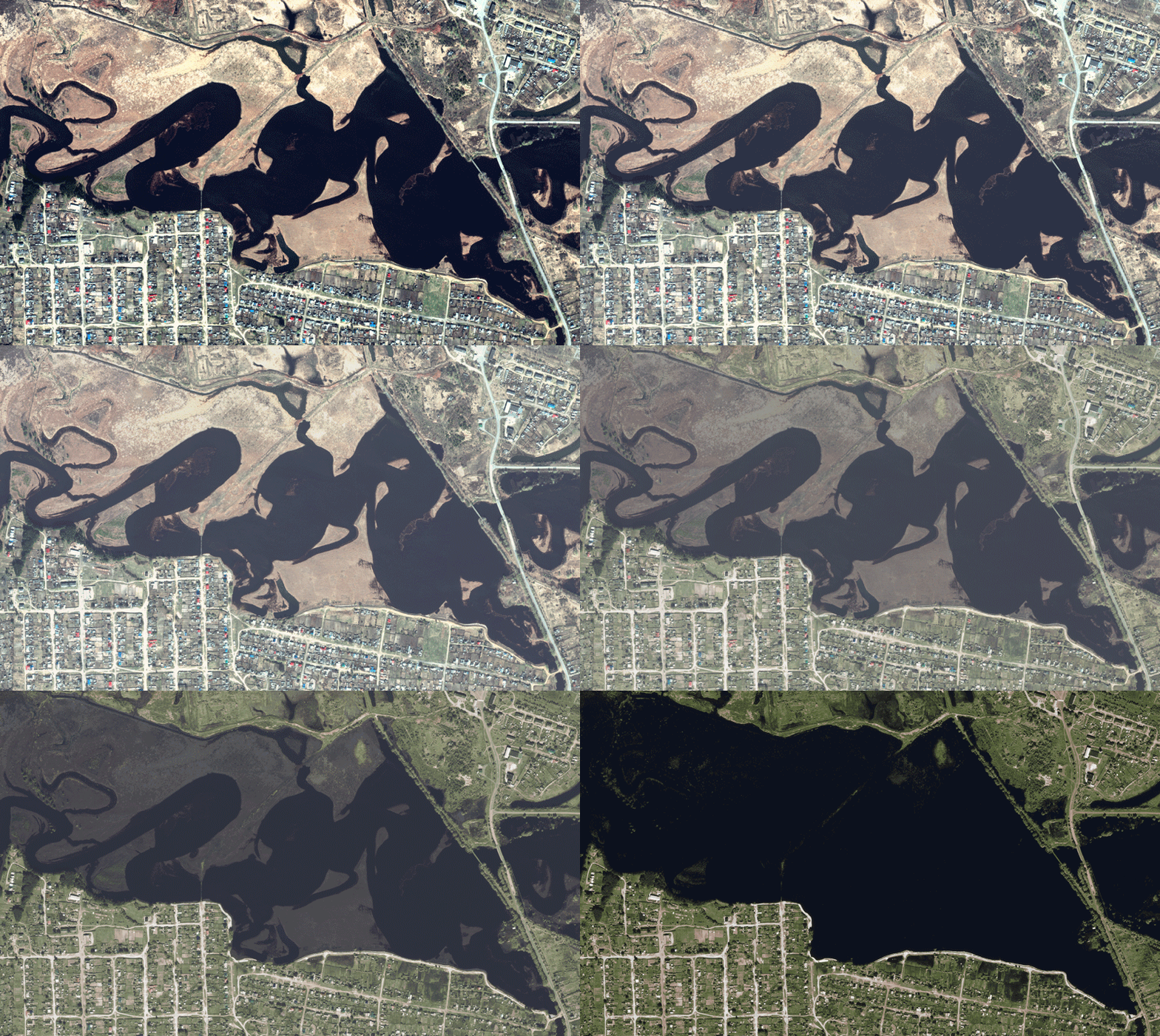
Floods constitute a serious threat to human life and must be prevented, monitored and managed by respective departments and organizations. The possibility of using remote sensing data in this area offer significant advantages over traditional ground-based methods.

Floodplain inundation of the river Tavda
Based on technology developed by experts Department of cartographic monitoring based on remote sensing data, practical results, the production units of JSC "Uralgeoinform" perform full complex of works with the use of satellite images
On satellite images WorldView-2 (May 2015) and Pleiades (September 2016) it is possible to identify the flood zone of the river Tavda.


