In April 2013, China launched its first satellite capable of capturing high-resolution images into space. Not so long ago, it became known that with the help of "Gaofen-1", the country's authorities not only monitor potential natural disasters, but also identify illegal border crossings and identify farmers who grow marijuana. At the same time, the Chinese national space administration has posted 10 detailed satellite images from "Gaofen-1", obtained with the help of spectral imaging.
Such pictures will be processed for you by experts Department of digital photogrammetry
The land on this plateau has been eroded. The image clearly shows the river passing through it

Sand on the shore of lake kukunor
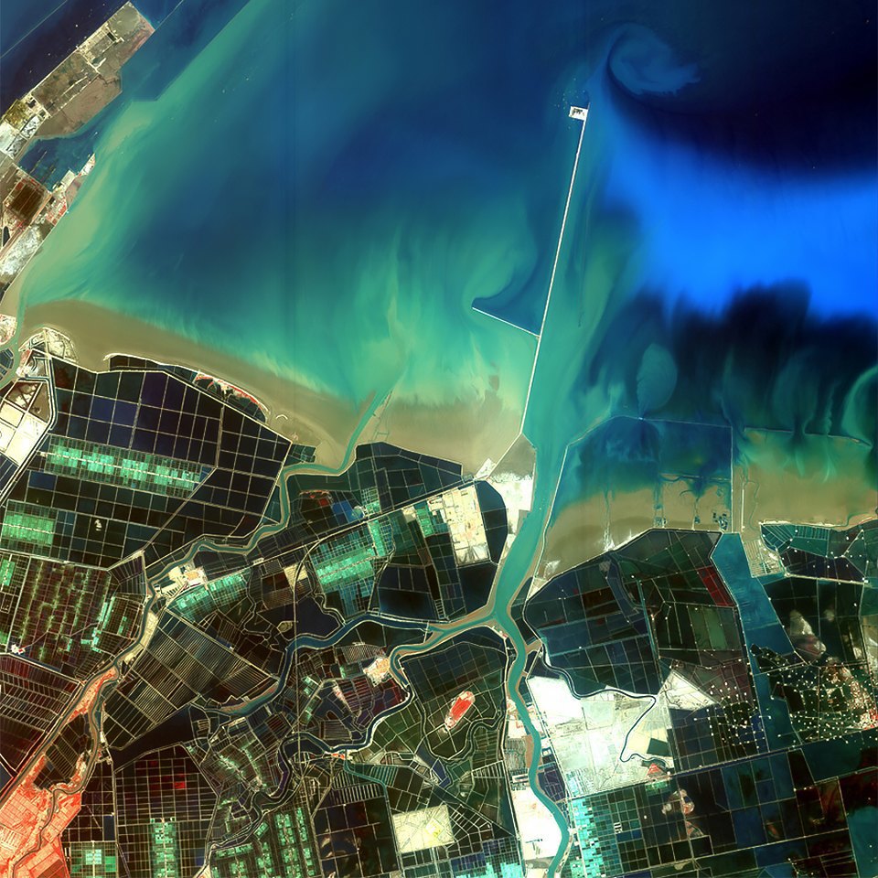
Farms near the river mouth

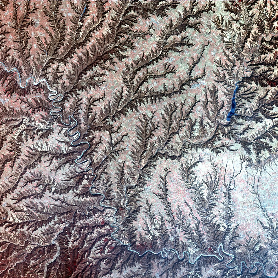
Not far from the city district of Changzhi is a lot of things. The pink part of the image on the left — farm plantations, on the right side of the snow is visible, and everywhere you can see the mountains covered with vegetation
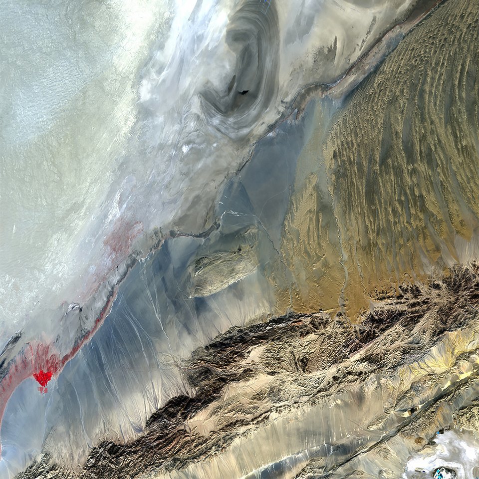
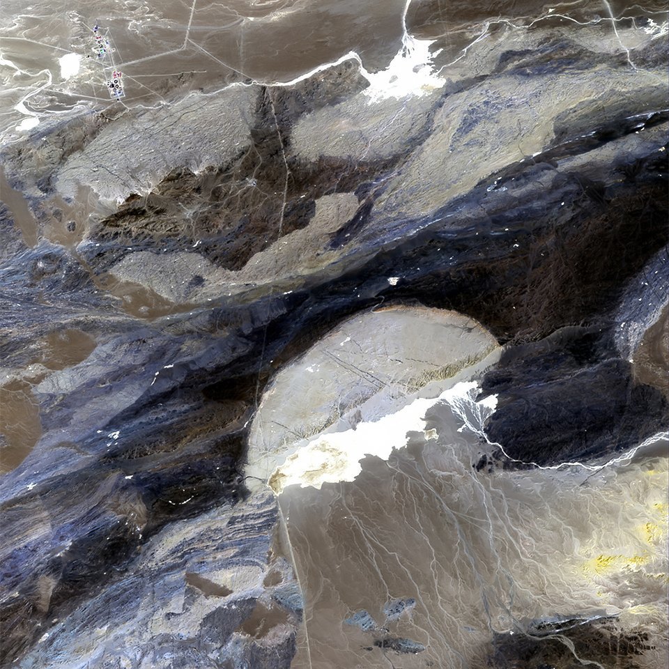
Desert in Western China. Parts of the image in blue and red indicate artificial ponds, part in the shape of an ear — a dried lake
In the South of the desert, which occupies the upper part of the image, there are mountains and a small pond
Cone of removal in the Gobi desert, resembling a jellyfish

A few more dry lakes. The curve passing through the center of the image is the road

Although the upper part of the image — sown fields — marked green, harvest there is still early to collect. The mountain range under them, separated by reservoirs, is also covered with vegetation
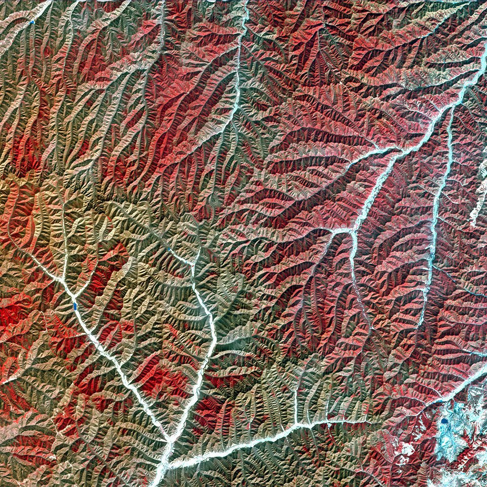
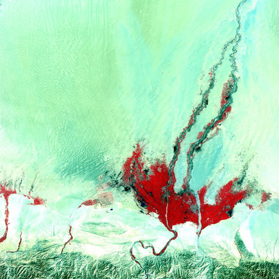
Dried river valleys in the highlands. Red and brown tones indicate different types of vegetation
Such pictures will be processed for you by experts Department of digital photogrammetry
On materials: lookatme.ru, space images - China national space administration


