Resurs-p Is a Russian civil spacecraft for remote sensing of the Earth. Space images sent by Resurs-P spacecraft are used in the preparation and editing of maps of different scales. In addition, the information obtained from the spacecraft will be useful in carrying out environmental monitoring activities, and in the search for potential locations of oil and other minerals. Also, in the study of satellite images in different spectral ranges, the maturity of cereals in the fields, the biological purity of water bodies, the level of salinity of the soil and much more is determined.
Such work on the interpretation of satellite images, efficiently and in a short time will perform for You experts Department of digital photogrammetry.
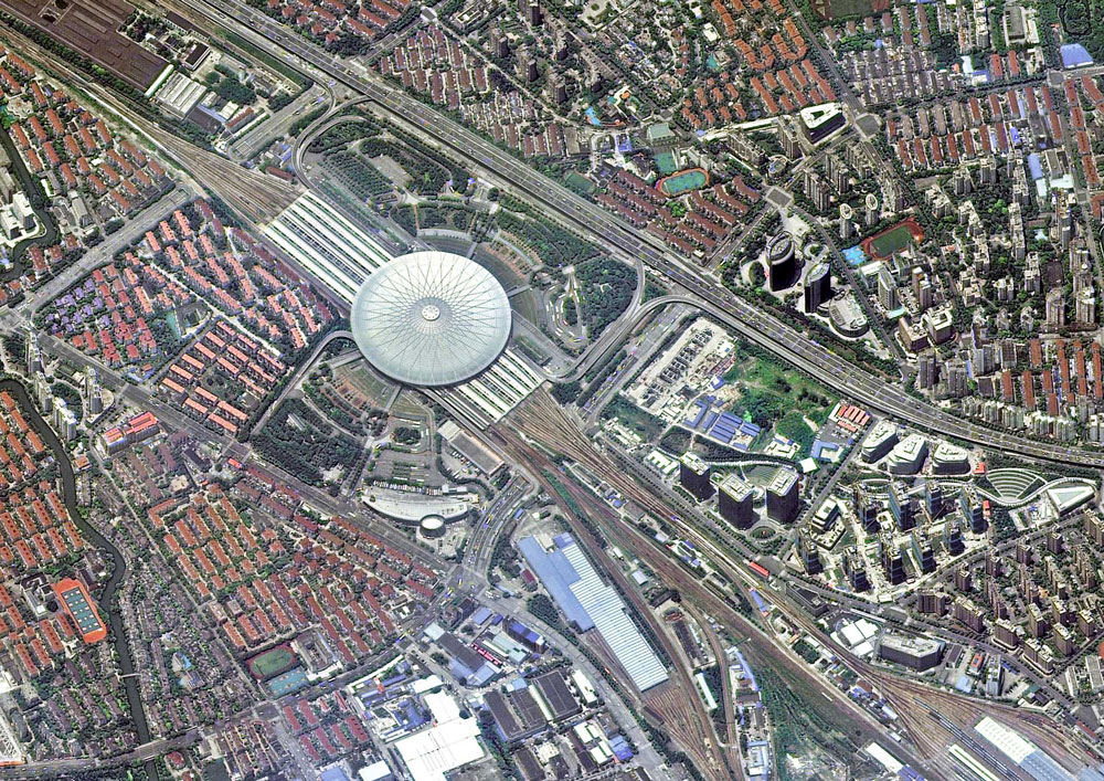
Railway station, Shanghai, China
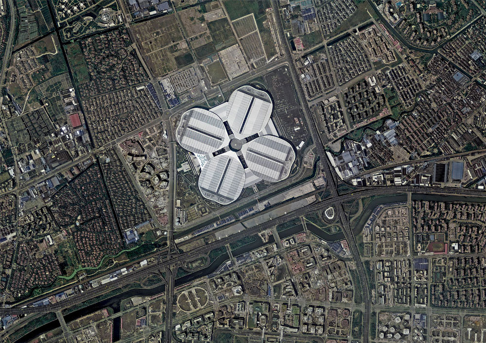
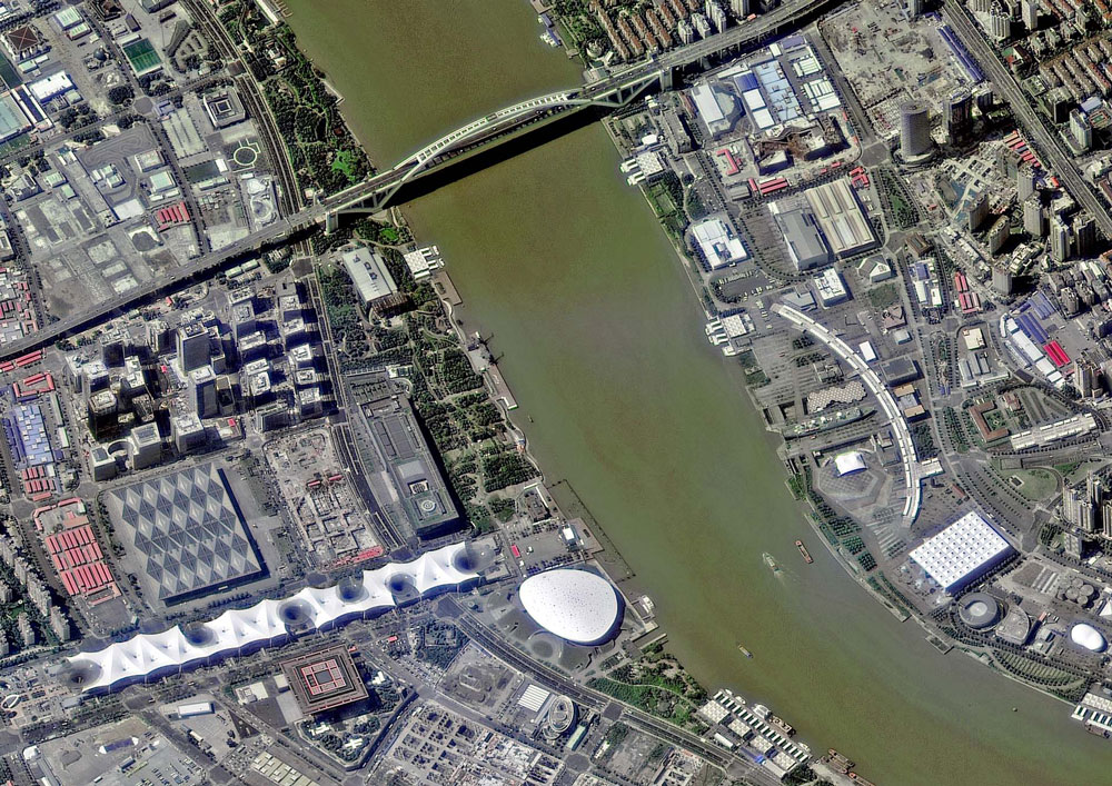
Shanghai, China

South station, Beijing, China
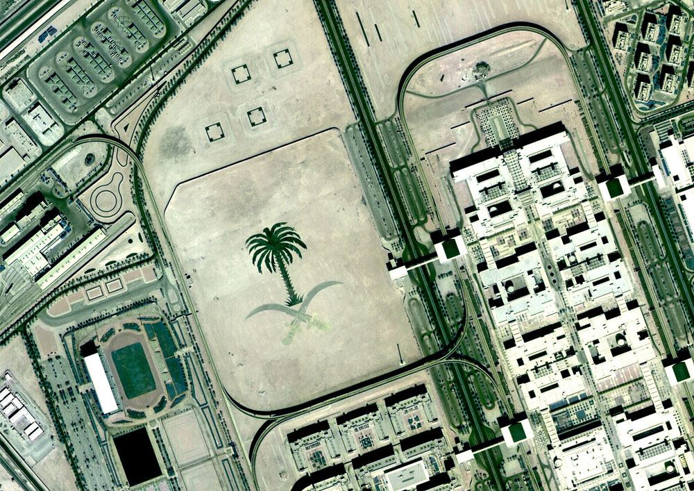
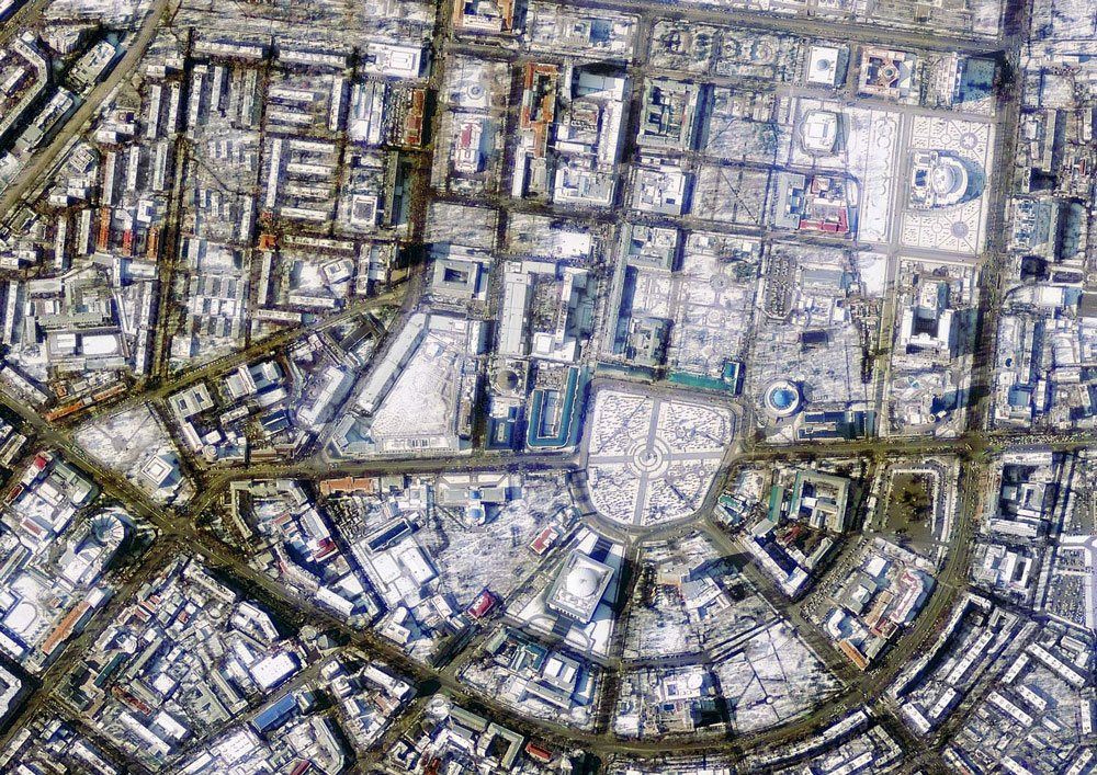
Riyadh, Saudi Arabia
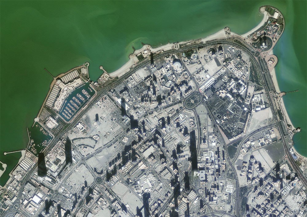
Kuwait City, Kuwait
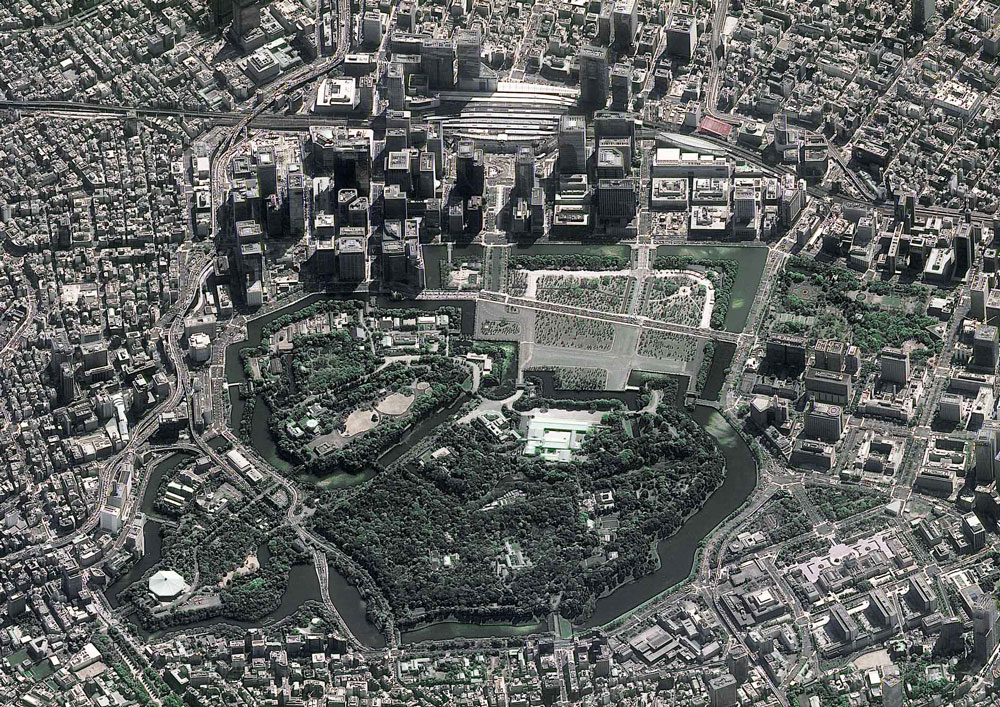
Tokyo, Japan
Tashkent, Uzbekistan
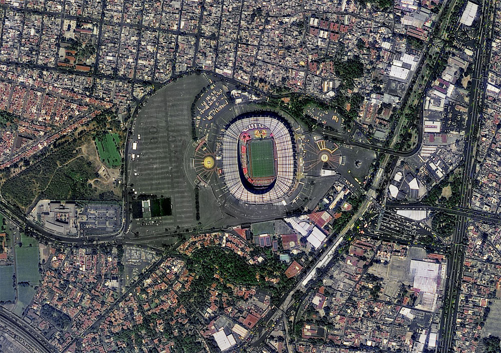
Aztec Stadium, Mexico City, Mexico
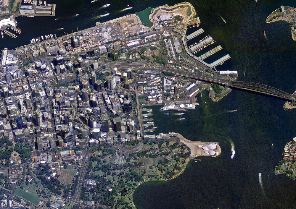
Sydney, Australia
Shanghai, China
Such work on the interpretation of satellite images, efficiently and in a short time will perform for You experts Department of digital photogrammetry.
On materials: russianspacesystems.ru


