Part 5 – South America
In previous collections Part 1, Part 2, Part 3 and Part 4 - there were unique pictures of Earth taken from space satellites Landsat 7. These images were processed by overlaying visible and infrared data. These pictures are not like our usual photos of the Earth from space. They are more like colorful paintings. In this collection we offer you paints of South America.
Such pictures will be processed and painted for you by experts Department of digital photogrammetry
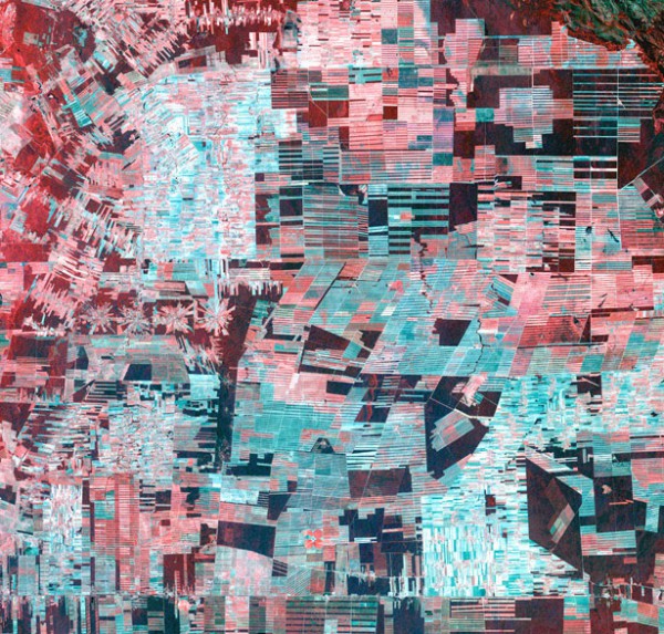
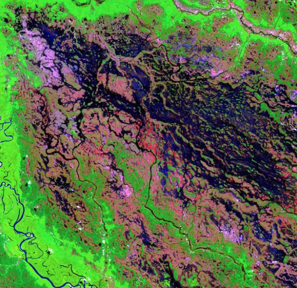
Bolivia
In this picture you can see how barbarously cut down the virgin rainforests of the Amazon. The remaining intact forests are highlighted in red.
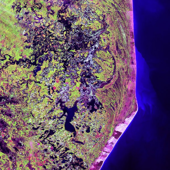
Cabo San Antonio, Buenos Aires province
Cape San Antonio in Argentina, with a length of more than 500 kilometers, wedged into the Atlantic ocean.
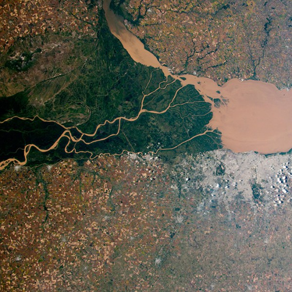
Parana river in Argentina
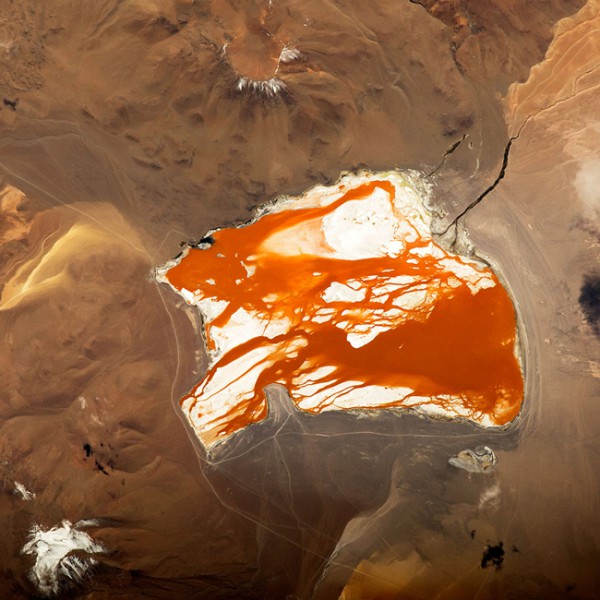
Laguna Colorado in Bolivia
So looks from space red-brown Lagoon-Colorado in Bolivia.
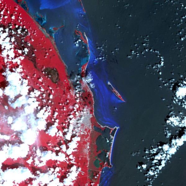
Cancun
Known for its beaches and hotels Cancun is on the island of Yucatan. Located in the depths of the Peninsula rainforests hide the ruins of the Mayan buildings.
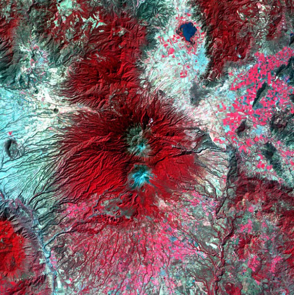
Colima Volcano, Mexico
Volcano in the West of Mexico, 80 km from the Pacific ocean. Mexico's most active volcano has erupted more than 40 times since 1576. Includes two peaks: one is extinct, the other is active.
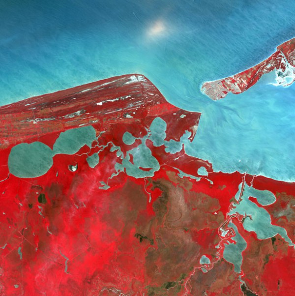
The State Of Campeche, Mexico
Named after the ancient Mayan province, Campeche includes much of the Western part of the Yucatan Peninsula in Mexico. In the West it is washed by the Gulf of Mexico. More than 40 % of the state is considered a protected natural area.
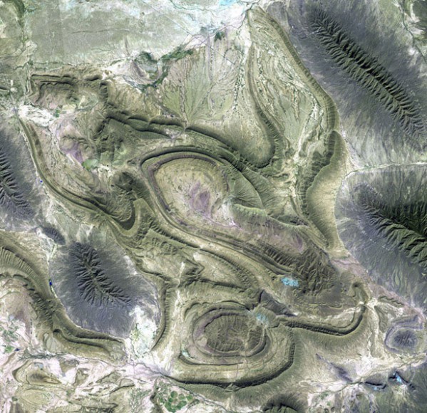
Coahuila, Mexico
This desert landscape is part of the Sierra Madre mountain system, which crosses the state of Coahuila from North-West to South-East.
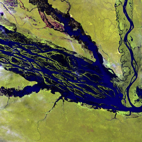
Demini River, Brazil
A section of the swampy demini river in northwestern Brazil that flows into the Amazon.
Jau national Park, Brazil
One of the largest national parks in Brazil. Zhau Park is located mainly in the zhau river basin, one of the small tributaries of the Rio Negro. The area of the Park covers the territory of several natural ecosystems of the Amazon: humid Equatorial forests, never flooded areas between rivers, periodically flooded high floodplains and low floodplains flooded for many months. A great variety of fauna is also associated with the so-called black rivers. These rivers are usually deeper, the water in them is clear and has a darkish hue due to the organic residues of decomposing plants.
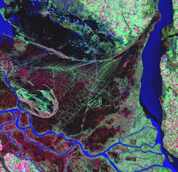
The Delta of the Parana river
The Parana river flows in the southern part of the continent through Brazil, Paraguay and Argentina. Parana is the main waterway providing water supply and navigation in the region. The photo clearly shows the contrast between swamps (green) and forests (reddish).
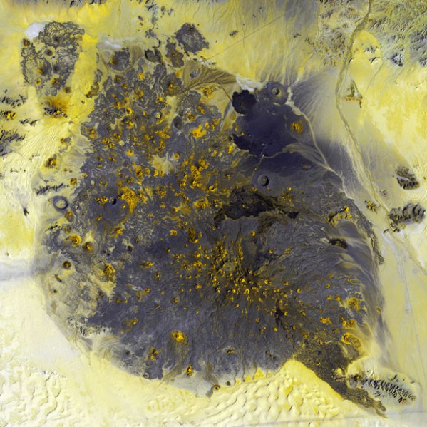
The Volcano Of Pinacate, Mexico
In the North-West of the Mexican state of Sonora, on the territory of the desert of the same name stretches the area of extinct activity of the volcano Pinacate. Here reigns peace and quiet, occasionally disturbed by sudden emissions of volcanic stones. The cones of craters, going deep into the earth, are randomly scattered throughout the desert.
Such pictures will be processed and painted for you by experts Department of digital photogrammetry
Space images – NASA, Us geological survey.
oakhill.ru, photolium.net

